Maps
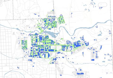
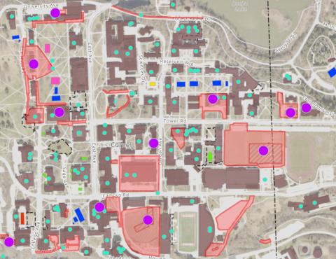
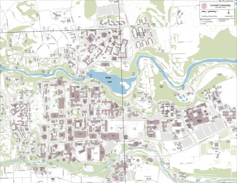
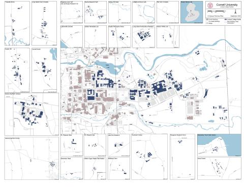
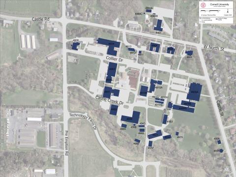
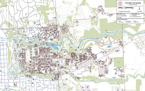
Mapping & Data Analysis:The Campus Planning Department uses geographic information systems (GIS) to visualize, question, analyze, and interpret data to understand relationships, patterns, and trends. We maintain current campus maps; and analyze and apply data, graphics, historic records and other information to support physical planning and development.
Accessibility: Accessible routes, building entrances, and parking at Cornell
Transportation: Campus transportation: Parking - Faculty/Staff, Students, Visitors, including Park mobile + Bus Stops, C2C Bus, Bike Racks, Info Booths and more to help you get where you need to go
Dining: Where to Eat on Campus: Links to dining centers and locations
Historic Designations: Historically Designated Areas on and near campus: Districts, Sites, and Statuary (Historic Information)
Housing: Campus Academic Buildings and Housing - with links to each facility
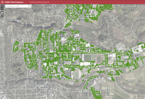
Trees: Detailed inventory of trees: On Cornell's campus and in the Village of Cayuga Heights
Campus Recreation: Athletics facilities and fields as well as trails on campus
Campus Landscapes: Primary campus landscapes, including quads, gardens, and natural areas